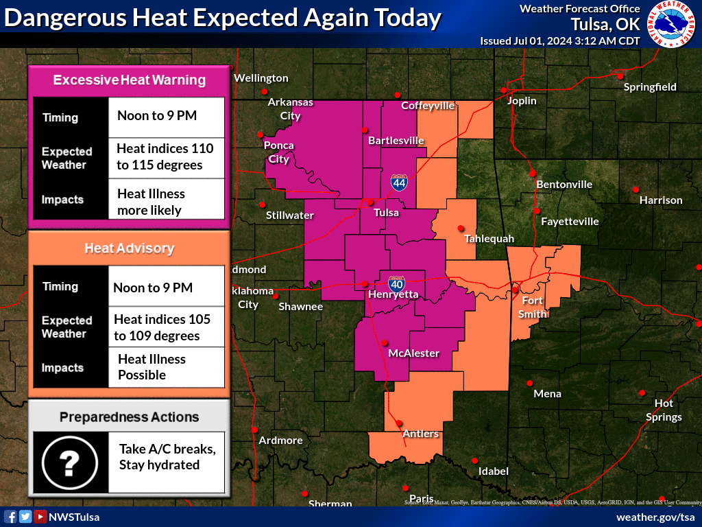
Latest Graphical Hazardous Weather Outlook (HWO) from the NWS Tulsa
KINX (Tulsa) NWS Radar Loop (refresh page to update)

Regional Radars

Latest Risk Areas & National Radar Loop from the Storm Prediction Center

Risk (from lowest to highest)=Marginal (MRGL), Slight (SLGT), Enhanced (ENH), Moderate (MDT), High (HIGH)
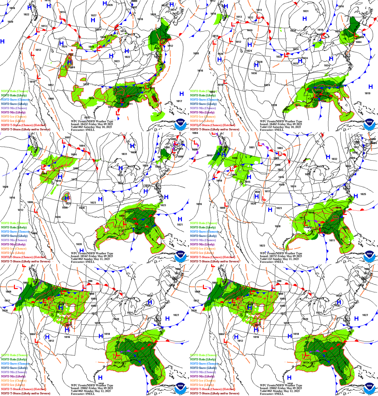
Forecasted surface maps thru 2½ days from NOAA
Forecasted 7-day total rainfall from NOAA

Current level & forecast of the Illinois River at Chewey

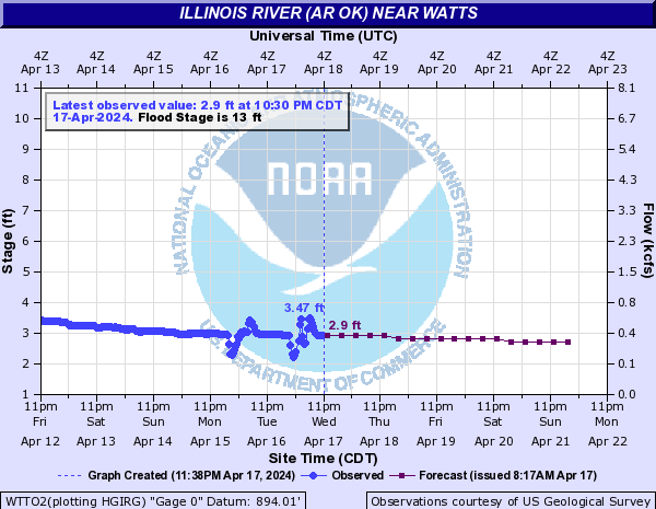
Current level & forecast of the Illinois River at Watts
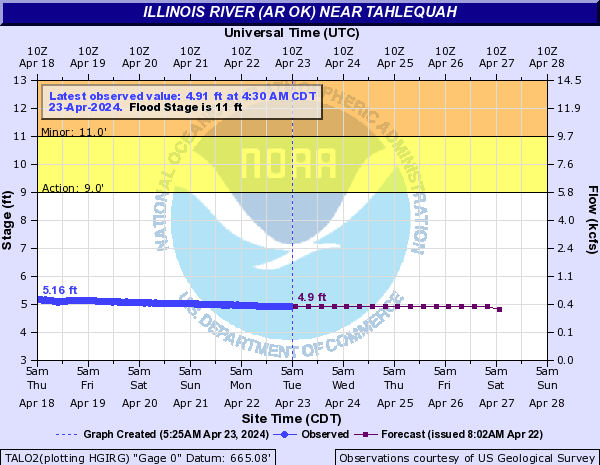
Current Level & forecast of the Illinois River at Tahlequah
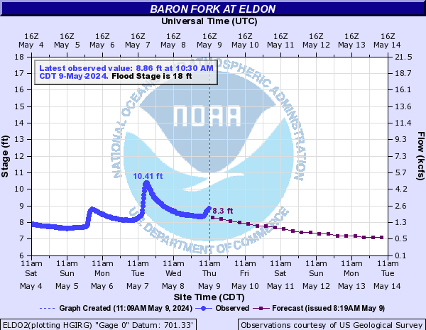
Current level & forecast of the Baron Fork Creek at Eldon
Current level of Lake Tenkiller (from NWS)

Current level of Lake Tenkiller (from Corps of Engineers)

Current level of Fort Gibson Lake (from NWS)

Current level of Grand Lake (from NWS)


